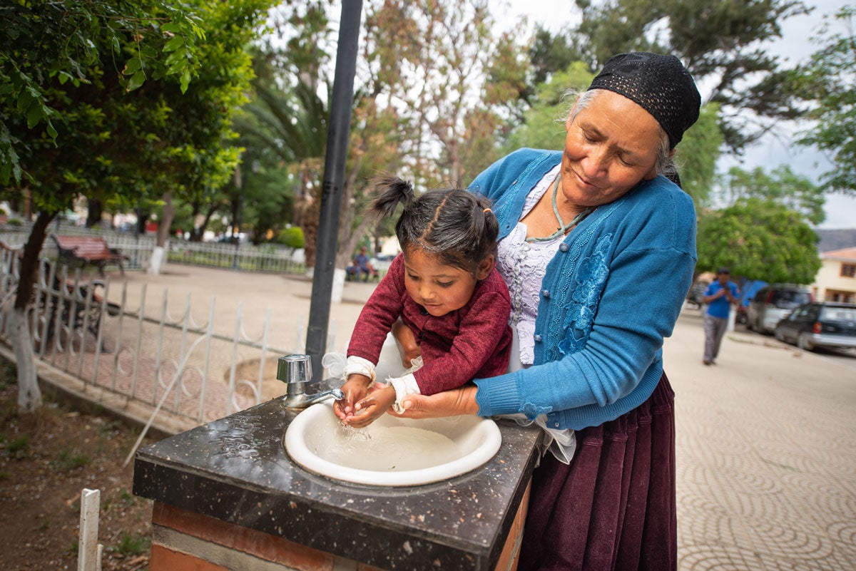
En el 2000, la población total de Estado Plurinacional de Bolivia era de 8 592 656 habitantes, y en el 2023 habría ascendido a 12 388 571, lo que representa un incremento de 44.2%. En cuanto al perfil demográfico del país, en el 2023 la población de mayores de 65 años representaba 4.9% del total, lo que implica un aumento de -0.2 puntos porcentuales respecto del 2000. Asimismo, en el 2023 se alcanzó una razón de 99.6 mujeres por cada 100 hombres y de 16. personas mayores (de 65 años o más) por cada 100 menores de 15 años, como se observa en la distribución por grupo etario y sexo de las pirámides poblacionales del país (figura 1). Si se considera la población de 15 a 64 años como potencialmente activa, es decir, susceptible de participar en actividades laborales, esta representó 64.6% de la población total del país en el 2023, lo que equivale a 8 007 340 personas. Si a estos datos se agregan los relativos a la población potencialmente pasiva (3 776 903 menores de 15 años y 604 329 mayores de 65 años), se obtiene una relación de dependencia de 54.7 habitantes potencialmente pasivos por cada 100 habitantes potencialmente activos. Esta relación era de 77.1 en el 2000.
En lo que atañe a la esperanza de vida al nacer, para el 2023 fue de 68.8 años —cifra inferior al promedio de la Región de las Américas—, esta cifra representa un incremento de 6.4 años respecto de lo informado en el 2000.
(Fuente: Salud en las Américas+)