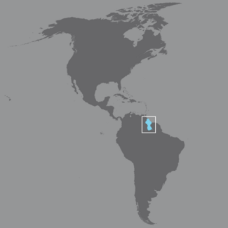
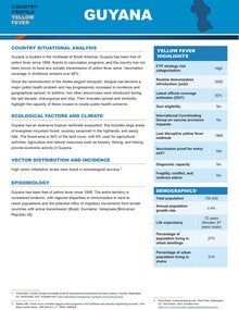
Guyana lies on the northeastern coast of South America and borders Suriname, Venezuela, and Brazil. It includes two distinct areas: the coastal area and the interior (or rural interior). It comprises an area of 215,000 km2 and is divided administratively into 10 regions.
Although the official language is English, at least eight other languages and dialects are also spoken.
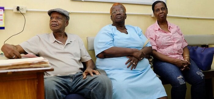
Between 2010 and 2015, its population grew by only 7%; at times, the country has even experienced negative growth. Its population is multi-ethnic: Indo-Guyanese (40% of the total population), Afro-Guyanese (26%), Amerindian (11%), and ethnically mixed (20%). The Chinese, Portuguese, and white populations together constitute less than 1% of the total population.
Guyana's population structure was expansive in 1990, but its population pyramid has become irregular, with certain age groups predominating as a result of various migrations. Life expectancy at birth was 66 years in 2014.
In 2015, per capita gross domestic product (GDP) was US$3,724. Agriculture, forestry, and the fishing and mining industries accounted for 28% of GDP.


