Hurricane Irma, a Category 5 Hurricane with record-breaking wind speed in the Atlantic, impacted several Caribbean Islands including Anguilla, Antigua and Barbuda, Bahamas, British Virgin Islands, Cuba, Saint Martin, Sint Maarten, Turks and Caicos, and the US Virgin Islands that were in its path after making landfall on September 5, 2017. Two weeks later, another Category 5 hurricane, Maria, brought further devastation to the Caribbean Islands, adding Dominica, Guadeloupe, Martinique, and Puerto Rico to the list of heavily impacted islands.
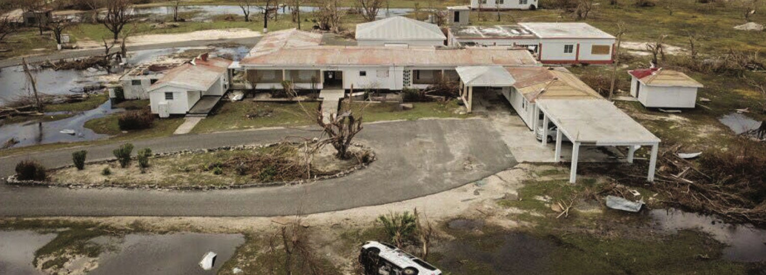
There was a major loss of infrastructure and livelihoods on some islands in others. According to the initial assessment, Antigua & Barbuda, Saint Martin, and Sint Maarten had an average of above 85% of destruction from Hurricane Irma. Whereas the country that was most affected by Hurricane Maria was Dominica, with over 90% of the island's infrastructure destroyed and critically damaged water, electricity, and communication services. Its death rate is currently at 37 deaths per 100,000 followed by Saint Martin with a rate of 28 and Anguilla with 27 per 100,000 respectively.
As part of the response, PAHO activated its Incident Management System and coordinated health cluster activities in the most seriously affected islands that requested international support. The Medical Information and Coordination Cell (CICOM) was also activated.
Activities carried out
PAHO provided humanitarian assistance to affected countries in the Caribbean region in alignment with the WHO Global Emergency Response Framework, the UN-OCHA Caribbean Regional Disaster Response Plan, and PAHO's Health Emergency Response Operational Plan.
PAHO's response priority activities during this emergency included: Regional Response Teams assisting with health damage and needs assessment, restoring healthcare delivery capacity and access to health services in the most affected areas, increasing epidemiological surveillance to support early detection and management of disease outbreaks, ensuring access to safe water, emergency sanitation measures and vector control, and lastly supporting efficient coordination of humanitarian assistance and management of information. PAHO's response was possible through the emergency appeal to the Department of International Development (UK) and FID and the UN-OCHA Central Emergency Response Fund (CERF).
- The Medical Information and Coordination Cell (CICOM) was activated as a part of the support for the coordination and monitoring of emergency medical teams (EMTs). At the time of this report, 12 teams were coordinating or reporting on their activities to CICOM. Nine of these 12 teams are active in Dominica, where they continue to support emergency efforts.
- PAHO also coordinated with the military, national governments, CDEMA, international NGOs, and other UN agencies to improve the health response operations.
- Available capacity on the ground was used to solve problems, as exemplified by the case of Dutch engineers who coordinated with PAHO to repair the water plant at Dominica’s hospital.
- Vaccines were sent to Haiti and Jamaica with support from the PAHO/WHO Strategic Fund in response to an urgent request made by Dominica and the British Virgin Islands.
Study: The Wind Speeds in Selected Islands During Hurricanes Irma and Maria in 2017
The Pan American Health Organization commissioned a study of the wind speeds in several Caribbean islands during the passages of Irma and Maria; the wind maps were developed to provide estimates on various islands. These were developed using a combination of the hurricane track data provided by the National Hurricane Centre (central pressure and position) coupled with estimates of the radius to maximum winds (RMW) and the Holland B parameter.
Wind speeds are presented as estimates of maximum 3-second peak gust wind speeds over land. These gust wind speeds are not necessarily representative of the maximum wind speed in the hurricane, which likely occurred elsewhere. Wind speeds given by the National Hurricane Center are estimates of the maximum one-minute sustained (average) wind speed over water anywhere in the hurricane.