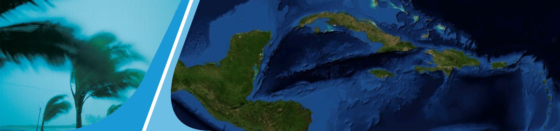
PAHO/WHO, together with Applied Research Associates, a North American institute, and participants from different Caribbean countries, have created maps that show wind hazards on Caribbean islands and along the Caribbean coasts of Central and South America. The project simulates 100,000 years of Atlantic storms using hurricane hazard models, historic records, and existing wind maps and will help in the design and construction of new health facilities.