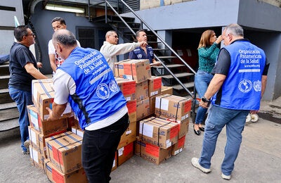
Washington, D.C., May 20, 2008 (PAHO)—The Pan American Health Organization (PAHO) Emergency Preparedness and Disaster Relief Coordination unit, through Applied Research Associates, has developed new state-of-the-art wind hazard maps for Caribbean islands and nearby coastal areas of Central and South America. The maps use the most up-to-date meteorological records and methods and are intended to replace older maps currently in use for structural design and risk assessment. They are an important aid for engineers, developers, and others whose work requires knowledge of wind hazards.
The new maps, created by PAHO's Emergency Preparedness and Disaster Relief Coordination unit through Applied Research Associates, benefit from more than 20 years' worth of new data collected since the last Caribbean regional wind hazard map for engineering design purposes was developed in 1985. Moreover, they are based on the latest developments in hurricane forecasting and tracking and estimation of wind speed and direction, which are recognized by consensus in the scientific community.
Reliable wind hazard information is crucial for the work of engineers whose projects must resist hurricane-force winds, for building developers or owners who wish to specify the level of safety of their facilities, and for insurance providers who wish to know the risks they underwrite. Financial institutions also sometimes wish to specify wind design criteria for their projects.
Currently, regional building standards for wind resistance are laid out in the 1985 Caribbean Uniform Building Code (CUBiC). The higher-than-normal hurricane activity in the North Atlantic over the past 13 years has led to the questioning of wind design criteria incorporated in the present standards in the Caribbean. A project funded by the Caribbean Development Bank (CDB) and executed by the Caribbean Regional Organization for Standards and Quality (CROSQ) is currently developing new regional standards to replace the CUBiC. However, this project does not include new wind hazard maps for the region. The new PAHO Caribbean Basin Wind Hazard Maps are consistent with the CDB-CROSQ process in that both are based on U.S.A. "International" codes that reference the wind load provisions of the American Society of Civil Engineers.
The new Caribbean Wind Hazard Maps were developed in consultation with regional meteorologists, officials and experts from PAHO member countries, regional engineers and architects. This open consultation process, coordinated by Caribbean engineer Tony Gibbs, was followed to facilitate the adoption of the maps by Caribbean communities. Funding for the project was provided by the Office of Foreign Disaster Assistance of the U.S. Agency for International Development (OFDA/USAID).