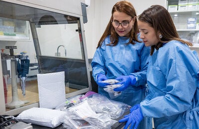
Washington, D.C., 20 February 2025 (PAHO) - On 13 February 2025, the Pan American Health Organization (PAHO), in collaboration with the World Health Organization (WHO)’ Geographic Information Systems (GIS) Center for Health, conducted a specialized virtual training session on ArcGIS Pro, an advanced GIS software for mapping and spatial analysis. This session focused on data visualization and mapping techniques, equipping 83 professionals from 13 PAHO Country Offices across the region (Bolivia, Costa Rica, Cuba, the Dominican Republic, Ecuador, El Salvador, Guatemala, Mexico, Nicaragua, Panama, Paraguay, Peru, and Venezuela) with essential GIS skills using ArcGIS Pro.
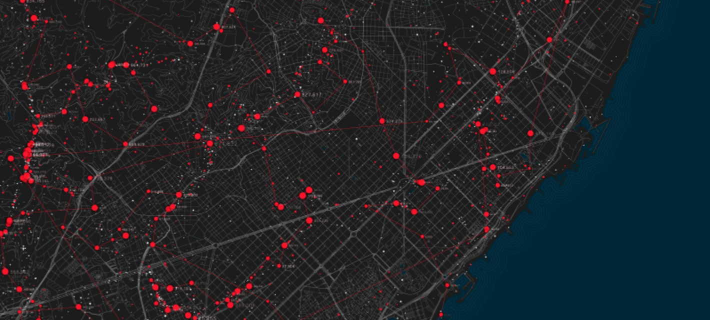
GIS technology has revolutionized public health by enabling professionals to map health emergencies including disease outbreaks, assess health disparities, and design targeted interventions. The training aimed to introduce ArcGIS Pro as a key mapping tool while enhancing participants' capacity to conduct spatial analysis, visualize health data, and generate informative maps.
Led by the Health Emergency Information and Risk Assessment Unit (HIM) within PAHO’s Health Emergencies Department (PHE) with the support of the WHO GIS Center for Health, the four-hour session provided a comprehensive introduction to starting a geospatial project in ArcGIS Pro. It covered the methods of geocoding and adding data to maps, the various sources of data available, a description and exploration of available tools, application and modification of suitable symbology, geoprocessing techniques, and map export functionalities. Individual support was also available through breakout rooms, ensuring personalized guidance for participants.
This training initiative is part of PAHO’s broader Strategy on Epidemic Intelligence for Strengthening Early Warning of Health Emergencies (2024–2029), specifically supporting Action Line 2, which focuses on building technical capacity. By equipping health personnel with GIS expertise, PAHO strengthens regional preparedness and enhances the ability to detect and respond to emerging health threats.
Moving forward, PAHO aims to expand this initiative by incorporating additional GIS tools, including open-source alternatives, to further support Country Offices and member states. By fostering a network of GIS professionals, PAHO continues to drive innovation in public health mapping and spatial analysis, reinforcing the region’s ability to respond effectively to health emergencies.