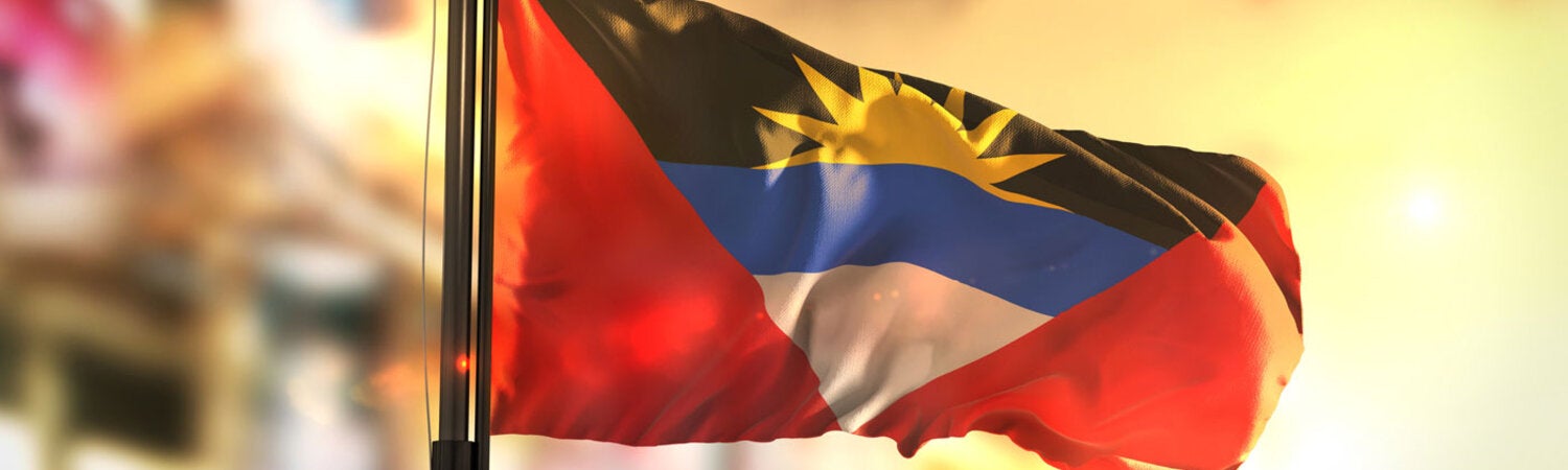
Antigua and Barbuda is located in the Leeward Islands in the northern Caribbean. It is composed of three islands—Antigua, Barbuda, and Redonda (uninhabited)—and covers an area of 442.6 km2.
A full 98% of the population lives in Antigua, including 60% in the St. John Parish and 26% in the capital, St. John’s. Antigua and Barbuda is divided administratively into six regions (parishes) and two dependencies (Barbuda and Redonda).
In 2000 the total population of Antigua and Barbuda was 75 055 inhabitants; by 2023 this figure had risen to 94 298, representing a 25.6% increase. Regarding the country’s demographic profile, in 2023 people over 65 years of age accounted for 11.1% of the total population, an increase of 3.9 percentage points compared to the year 2000. In 2023, there were 109.3 women per 100 men and 61.1 older people (65 years or older) per 100 children under 15 years of age, as can be seen in the country’s population pyramids, distributed by age group and sex (Figure 1). Considering the population between 15 and 64 years of age to be potentially active (i.e., potential participants in the labor force), this group represented 70.7% of the total population of the country in 2023 (66 666 people). When we add these figures to the potentially passive population (17 149 under 15 years of age and 10 484 over 65 years of age), the result is a dependency ratio of 41.4 potentially passive people per 100 potentially active people. This ratio was 54.0 in 2000.
Life expectancy at birth in 2023 was 79.4 years, higher than the average for the Region of the Americas and 4.8 years higher that in 2000.
(Source: Health in the Americas+)