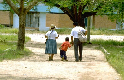
Saint Kitts and Nevis is a nation formed by two islands located in the Leeward Islands of the Lesser Antilles. Saint Kitts is the larger and more populous island, with a total area of 168 km². Nevis, located to the southeast of Saint Kitts, covers an area of 93 km².
The country is divided administratively into 14 parishes (nine in Saint Kitts and five in Nevis).
In 2000 the total population of Saint Kitts and Nevis was 45 461 inhabitants; by 2023 this figure had risen to 47 755, representing a 5% increase. Regarding the country’s demographic profile, in 2023 people over 65 years of age accounted for 10.6% of the total population, an increase of 2.7 percentage points compared to the year 2000. In 2023, there were 107.3 women per 100 men and 55.1 older people (65 years or older) per 100 children under 15 years of age, as can be seen in the country’s population pyramids, distributed by age group and sex (Figure 1). Considering the population between 15 and 64 years of age to be potentially active (i.e., potential participants in the labor force), this group represented 70.2% of the total population of the country in 2023 (33 512 people). When we add these figures to the potentially passive population (9 184 under 15 years of age and 5 060 over 65 years of age), the result is a dependency ratio of 42.5 potentially passive people per 100 potentially active people. This ratio was 59.2 in 2000.
Life expectancy at birth in 2023 was 72.2 years, lower than the average for the Region of the Americas and 2.4 years higher that in 2000.